Lodging nearby Hotel new valencia
Coronavirus disease (COVID-19) Situation
confirmed cases
552695
deaths
5856
Venezuela
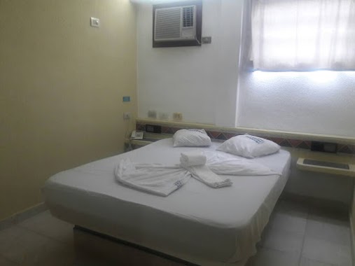
Lodging nearby Hotel new valencia
Hotel new valencia
Valencia Venezuela, República Bolivariana de
contacts phone
:
+58
Latitude:
10.1787261
, Longitude:
-67.9967837
read more
nearest Lodging
12 m
Hotel Roraima Dos, C.A
Av. Lara C/C av Branger, Valencia
Lodging
read more
53 m
New Hotel Valencia
Av. Lara cruce con Av. Branger y Paseo Cabriales, Valencia
Lodging
read more
70 m
Edificio Barquisimeto
Valencia
Lodging
read more
302 m
Edificio Niteroi
10°10'53.0"N 67°59'46., 4
Lodging
read more
412 m
Hotel Le Alpi, C.A.
Calle 24 de Junio, Valencia
Lodging
read more
588 m
Posada Maktub
Calle 97 Girardot, Valencia
Lodging
read more
621 m
Hotel Venus
2001,, Valencia
Lodging
read more
622 m
Hotel Fariar
Calle 100 Colombia, Valencia
Lodging
read more
726 m
Hotel El Ciclon
Calle 94 Cantaura, Valencia
Lodging
read more
743 m
Hotel Caracas
Valencia
Lodging
read more
823 m
Hotel Continental
Avenida 98 Boyaca, Valencia
Lodging
read more
893 m
Hotel Rommy
Avenida 85 Maitin, Valencia
Lodging
read more
909 m
Rest Hotel Filadelfia
Calle 94 Cantaura, Valencia
Lodging
read more
911 m
Carabobo
Calle 90 Pena, Valencia
Lodging
read more
918 m
Hotel la pequena valencia
2001, Valencia
Lodging
read more
924 m
hotel carabobo
Valencia
Lodging
read more
1.044 km
Hotel La Candelaria
Calle 88 Lopez, Valencia
Lodging
read more
1.153 km
Hotel Colón
Calle 100 Colombia, Valencia
Lodging
read more
1.229 km
Hotel Dinastía
Avenida Urdaneta, Valencia
Lodging
read more
1.229 km
Dinastía Hotel
Av. Cedeño, Venezuela
Lodging
read more
1.643 km
Hotel La Candelaria C.A
Calle 90 Pena, Valencia
Lodging
read more
1.734 km
Callejon sucre- Casa
Don Bosco, Valencia
Lodging
read more
1.832 km
Hotel Camoruco
Avenida Bolivar Norte, Valencia
Lodging
read more
1.922 km
Hotel Posada Sonia
109-150 Avenida Rotaria, Valencia
Lodging
read more
2.086 km
Hotel palace
Valencia
Lodging
read more
📑
all categories
Accounting
Administrative area level 1
Administrative area level 2
Airport
Amusement park
Aquarium
Art gallery
Atm
Bakery
Bank
Bar
Beauty salon
Bicycle store
Book store
Bowling alley
Bus station
Cafe
Campground
Car dealer
Car rental
Car repair
Car wash
Casino
Cemetery
Church
City hall
Clothing store
Colloquial area
Convenience store
Courthouse
Dentist
Department store
Doctor
Electrician
Electronics store
Embassy
Finance
Fire station
Florist
Food
Funeral home
Furniture store
Gas station
General contractor
Grocery or supermarket
Gym
Hair care
Hardware store
Health
Hindu Temple
Home goods store
Hospital
Insurance agency
Jewelry store
Laundry
Lawyer
Library
Light rail station
Liquor store
Local government office
Locality
Locksmith
Lodging
Meal delivery
Meal takeaway
Mosque
Movie rental
Movie theater
Moving company
Museum
Natural feature
Neighborhood
Night club
Painter
Park
Parking
Pet store
Pharmacy
Physiotherapist
Place of worship
Plumber
Point of interest
Police
Post office
Premise
Real estate agency
Restaurant
Roofing contractor
Route
Rv park, camping
School
Shoe store
Shopping mall
Spa
Stadium
Storage
Store
Subpremise
Subway station
Supermarket
Synagogue
Taxi stand
Train station
Transit station
Travel agency
University
Veterinary care
Zoo
administrative area level 3
sublocality level 1
↑